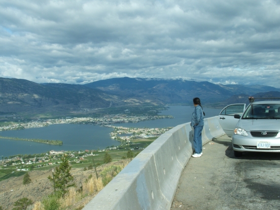
We drove the Crowsnest Highway East from Vancouver. At Osoyoos BC the Highway crosses Osoyoos Lake and climbs out of the Okanagan Valley (above, and center). This valley has hot, dry summers seemingly out of character with the surrounding forests and mountains.
Further East the highway reaches Castlegar, at the confluence of the Columbia River and the Kootenay River. The camera pans from West to East to show a landscape that is considerably less hot and dry than the Okanagan Valley.
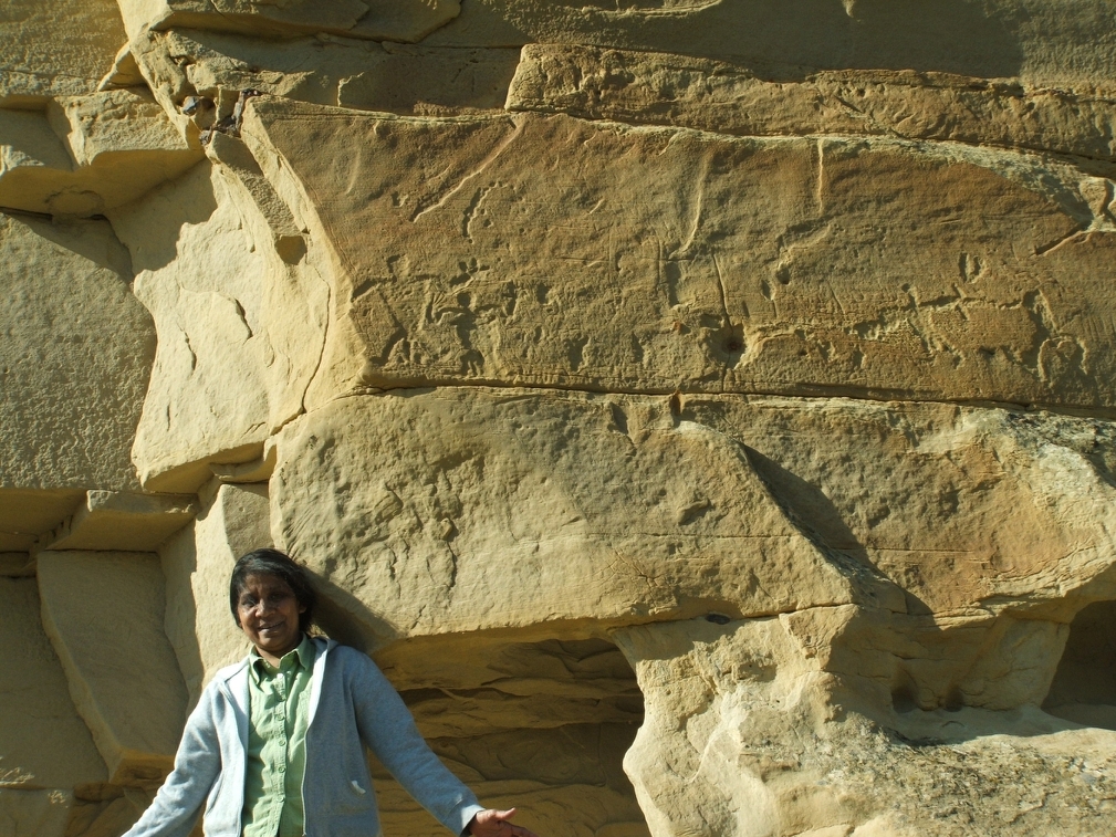
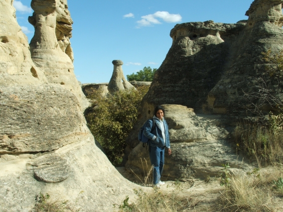
This is Writing-on-Stone Provincial Park AB, on the Milk River, just North of the U.S. border.
This is the mule deer we saw. A fawn, actually; the mother had already run off.
I think this is the Marias River, a tributary of the Missouri, where it runs just to the West of I-15, SSW of Shelby MT. In any event, the Lewis and Clark expedition seems to have passed this way.